Exploring the laser 'cloud'
Posted by:
Susan Winter, Environment Agency Geomatics Team, Posted on:
-
Categories:
Defra digital, Open data
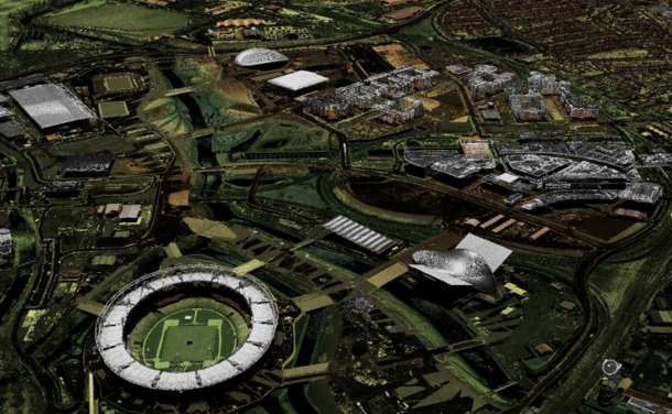
In September 2015 we made our extensive archive of LIDAR digital elevation models (DTM – digital terrain models; and DSM – digital surface models) covering over three quarters of England, available as open data. Since then, businesses, local communities and …
Recent Comments