At Natural England we and our predecessors have been mapping and classifying the use of agricultural land since 1966. The Agricultural Land Classification (ALC) data is used primarily to enable us, developers and planners to assess the impact developments will have on agricultural land provision and releasing this data as open data will reduce the costs associated with this.
The Challenge
Our customers had limited access to this valuable data resource and getting access was difficult. A customer would have to find out if the data existed, using Defra’s MAGIC website, and then send us an enquiry to request the data. Our specialists would then manually search for the relevant data and send it to the customer. This was a costly and inefficient process for everyone involved.
The Solution
We are now making the post 1988 agricultural land classification surveys available as open data, under the Open Government Licence as part of our #OpenDefra contribution.
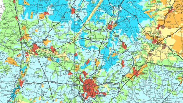
The data consists of scanned original paper maps and reports for individual sites surveyed in detail by the then Ministry of Agriculture, Fisheries and Food (now Defra) at varying scales. It is the most detailed and up-to-date ALC dataset.
We hold data for the whole of England, so the survey reports and maps will be published gradually over the next few months. Once the majority of them are published we will link them to the spatial data on MAGIC.
The Benefits
Our specialists will be able to use the time saved to focus on using the data to provide better quality responses when consulted as part of the planning process and improving our data more generally.
Once on MAGIC our customers will then be able to find and use this data when identifying development options and their impact on agricultural productivity, and use it without restriction under the Open Government Licence.
This important first tranche of ALC data release is helping us raise awareness of the value of open data within the organisation and across Defra which we hope will lead to further releases.
2 comments
Comment by Edgar Black posted on
Great to see these important environmental datasets being opened up. Real 'Memory Lane' territory for me, as I started my career doing ALC work in the beautiful South West and some of them are my own work! Memories of great land resources that certainly need protection for future use. Looking at the detailed maps also brings back memories of the many and varied agricultural settings for lunch, a stand-up argument with a farmer who didn't like a soil pit being dug in his field and taking shelter during a thunderstorm - all part of the behind-the scenes work of civil servants, delivering policy on the ground that matters. As I disappear shortly on VES, I'll keep an eye out for more datasets...and more memories.
Comment by Mark Hayes-Newington posted on
HI Edgar
In your experience should this ALC data be applied as a formal planning constraint on the gardens in the countryside of less than 2 acres where the land is grade 4 or below?
Many thanks