On World Soil Day, Naomi Lees explains the importance of Defra’s new four-year agreement with Cranfield University for the maintenance and licensing of The Land Information system (LandIS).
On World Book and Copyright Day, Defra Librarian Laura Graydon reflects on the origins of copyright and explains why it’s so important for us all to understand the law, and how it applies to us and our work in Defra.
On International Archives Day we hear from Allison Wort, who leads Defra’s Information Appraisal Team, on the work her team does to process, archive and dispose of many thousands of historic files and departmental records each year.
To celebrate Libraries Week, Library Officers Laura Graydon and Kimberley Stansfield share their passion for library work and explain why they work in the Defra Library.
Two of our data analysts, Josh George and Junayed Islam, who joined Defra at the height of the pandemic, reflect on their experiences of online recruitment, working remotely, and having still never met their colleagues in person.
Defra’s technology innovation team recently released their 2021 Emerging Technology Radar. Tony Riggs, who leads the team, explains how it tells us a lot about the challenges and opportunities facing the Defra group, and the emerging technologies that could impact on these.
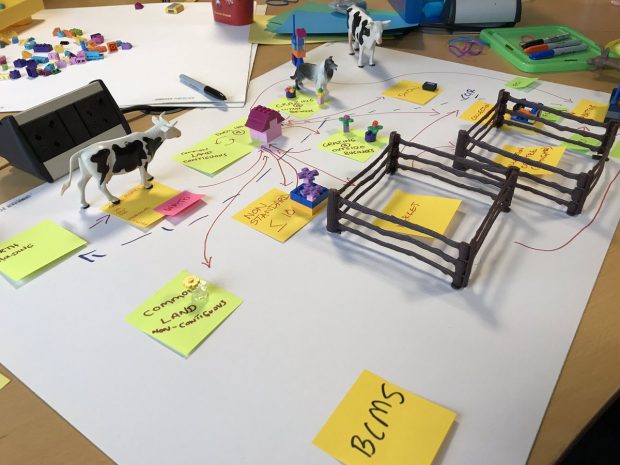
Read a blog post about the Defra Livestock Information Programme - which is working with industry to transform how we track future livestock movements in the UK.
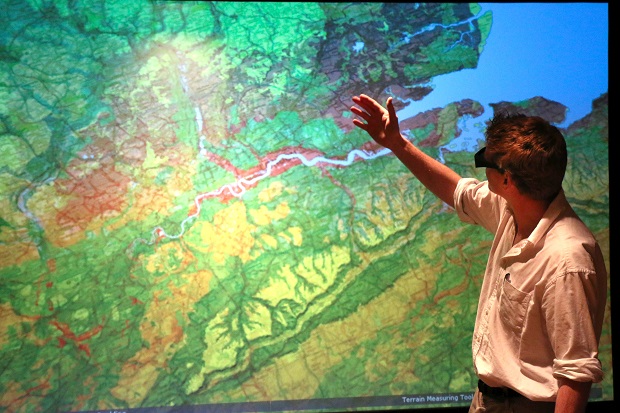
In September 2015 we made our extensive archive of LIDAR digital elevation models (DTM – digital terrain models; and DSM – digital surface models) covering over three quarters of England, available as open data. Since then, businesses, local communities and …
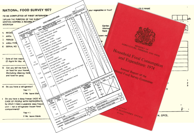
This week we have published a collection of datasets from the National Food Survey from 1974-2000, as open data. This rich data collection is comprised of food diary records from approximately 150,000 households across the 70s, 80s and 90s, who were …
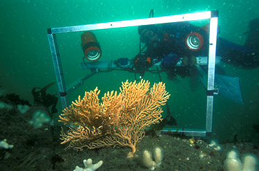
Today, as part of the #OpenDefra campaign; the Joint Nature Conservation Committee (JNCC) published the second batch of marine data under an Open Government Licence on data.gov.uk. The number of datasets now released by JNCC has topped 1000, meeting our …


Recent Comments