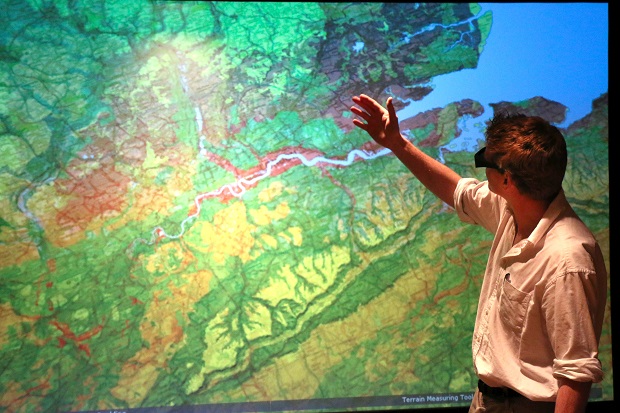
On World Soil Day, Naomi Lees explains the importance of Defra’s new four-year agreement with Cranfield University for the maintenance and licensing of The Land Information system (LandIS).
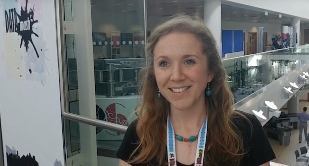
In this last in a series of interview with participants at DataMash, we spoke to Gill Lewis from the Geospatial information team in the Rural Payments Agency about the Ethics of data release, and broadening participation in the conversations we're …
Having conversations is the first step towards forging stronger relationships to improve how we work. Here, the Environment Agency's Abby Lane chats to us about the value of being able to meet up and talk to other people in Defra …
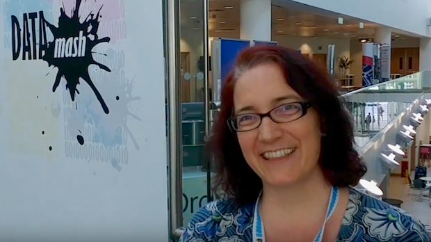
We spoke to the Open Data Institute's Chief Executive Officer Jeni Tennison about data at Defra at the end of Day 1 of our un/conference with Ordnance Survey last month.
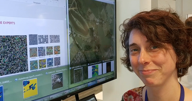
At #DataMash, We spoke to Senior Research Scientist Isabel Sargent from the Change and Business Innovation team at Ordnance Survey about Machine Learning. This is what she had to say.
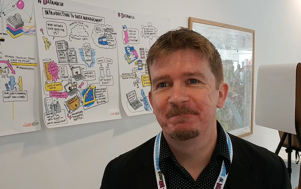
On the first day of DataMash, the Defra Data Programme's two-day un/conference with Ordnance Survey in Southampton, we spoke to Matt from conference visual recording artists Drawnalism about their work.
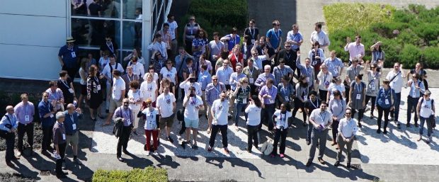
On 24–25 May 2017, Defra and Ordnance Survey ran a two-day un/conference (that's part conference, part unconference) at the Ordnance Survey Headquarters at Southampton. These photos capture a little bit of the magic that happened there...thanks to David Tait, Mattie Yeta
Related content and links
Defra digital, data, technology and security: our story
This blog is about our experience of transforming Defra digital, data, technology and security services and information.
Interested in finding out more about what we do in Defra Digital Data Technology and Security?
Check out our LinkedIn page for all the latest news, stories and job openings. While you're there, why not give us a follow?
Want to know more about our Sustainable ICT journey?
Defra is at the forefront of ensuring that UK Government Information Communications Technology (ICT) is rationalised, resilient, responsible, and free from exploitation throughout our digital infrastructure and associated supply chains.


Recent Comments