
Steve Wilkinson, Head of Innovation, Defra Data Transformation Programme

Process once - use everywhere

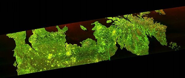
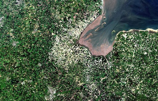
Defra group has the potential to simplify its access to satellite data and transform how we monitor and manage the UK’s landscape.

The satellites that safeguard our forests

forestspace

Our forests are valuable to us in many different ways – something we’ve understood for a long time. Now we have a new way to keep an eye on them.

Reducing duplication of Geospatial Information use across Defra

Travel Guidance Geography Atlas Map Market Paper

Much of Defra’s work relies on good access to, and use of, various kinds of geographical data. At present Defra has numerous local repositories within individual organisations which, in addition to being costly to maintain, can also lead to problems …

Sentinels of our Environment

Now that four of the European Space Agency’s Sentinel satellites are operational (Sentinel-1 a and b, Sentinel-2a, Sentinel-3a), there is a huge opportunity for Defra, along with many other UK government departments and organisations.

Putting our data to work

We met with Clare Moriarty on Friday 6 January to run through the progress with the Data Programme. This is a short summary of what we discussed.

First batch of marine survey data from JNCC

Today the first batch of marine survey data collected by the Joint Nature Conservation Committee was released under an Open Government Licence. These data will support furthering our understanding of the species which occur around in the seas around the …

Opening up the JNCC data archives

Today, as part of the #OpenDefra campaign, the Joint Nature Conservation Committee (JNCC) published its data inventory. This details the data sources that JNCC intend to publish under the Open Government Licence. JNCC was formed in 1990 when nature conservation was …