Flood defences have been in the news this winter. We’re pleased to announce that in response to this we have brought forward our #OpenDefra plans to release a key flood defence dataset as open data from 1 April to today.
By allowing everyone free access to review and interrogate these data, we will increase transparency of the location of flood defences. This will in turn raise awareness of the defences themselves, helping those living or working near them to be more #floodaware and plan accordingly.
It will now be easier for developers and companies to create apps and websites, as well as integrate the defence data into their systems to make it accessible to everyone, for example through environmental searches associated with property purchases. As open data it can also help inform sound planning, development or community / personal flood resilience decisions. Through user feedback it can help us identify improvements to our data and help identify future opportunities for investment.
Our Spatial Flood defences layer is the only dataset in England that shows flood defences currently owned, managed or inspected by the Environment Agency.
Flood defences can be structures, buildings or parts of buildings. Typically these are earth banks, stone and concrete walls, or sheet-piling that is used to prevent or control the extent of flooding. Flood defences are not all owned by the Environment Agency and the data include those built or owned by others as well as those we built on other people's land.
The dataset is available as a GIS layer so the defence location is clear, further details and metadata are available on data.gov.uk (link below).
We will be contacting those who currently license the data commercially from us to arrange variations to their licences.
The dataset being made open is known as ‘Spatial Flood Defences (including standardised attributes)’. A less detailed dataset ‘AfA031 Spatial Flood Defences (without attributes)’ will be phased out soon.
If you have any questions or feedback, please let us know @dataenvagency or opendata@environment-agency.gov.uk
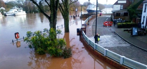
Photo "Upton's flood defences are being put to the test" (C) Environment Agency.
Recent Comments