Graham Dickinson reflects on his civil service journey, a journey that began with the Fast Stream in 2008, which then propelled him to a senior leadership role via the Civil Service Senior Leaders development programme. I began my civil service …
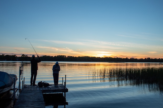
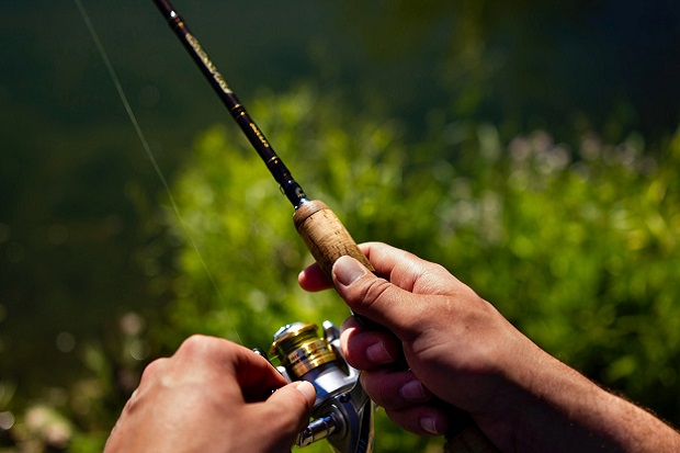
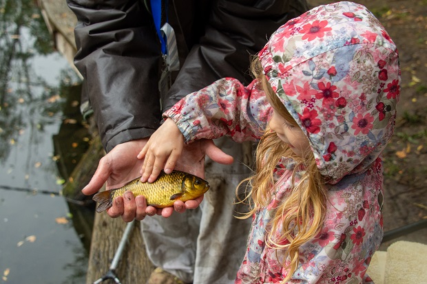
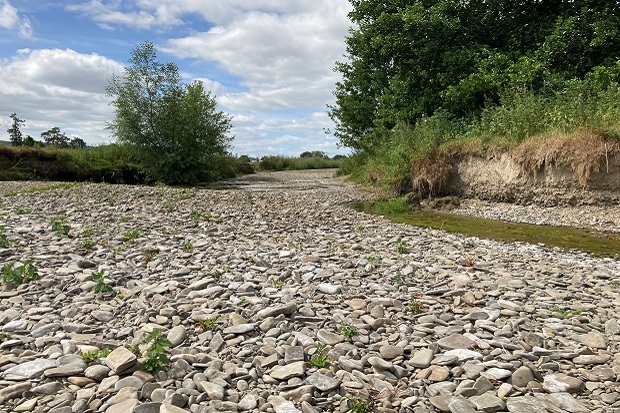
On World Fisheries Day Dr Dominic Berry, a member of the Environment Agency’s’ ‘I Want to Fish’ team, reflects on a recently completed research project concerning recreational freshwater fisheries in Wales and England.
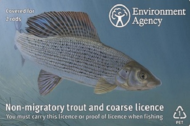
As National Fishing Month gets underway again, we hear from Jenny Yates, Service Owner in our ‘I Want to Fish’ team, about what our latest user research into digital fishing licences shows, and what future improvements anglers might see as a result.
In the last of our Blogs celebrating National Fishing Month, Digital Product Manager Melinda Twigg shares some reflections on her team’s work over the past year to develop digital fishing licences.
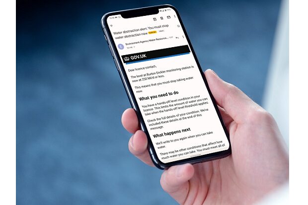
In World Water Week Mark Harvett, a digital product manager at the Environment Agency, tells us about the impacts of the driest period in nearly 50 years on our water resources and the role of email alerts in helping abstractors comply with conditions on their abstraction licences.
Service Manager Joe Simpson explains how Environment Agency Fisheries Enforcement Officers (FEOs) have been making leaps and bounds in licence checking, thanks to a new app designed and built by Defra’s ‘I Want to Fish’ digital team.
As National Fishing Month gets underway, Jenny Yates, Service Owner for Defra’s ‘I Want to Fish’ service, explains how feedback has helped the service to make further improvements to benefit anglers.
Today, we celebrate World Water Day with an update on our Water Resources Licensing Service (WRLS) from Product Owner Mark Harvett and Principal Developer Tim Tamimi.
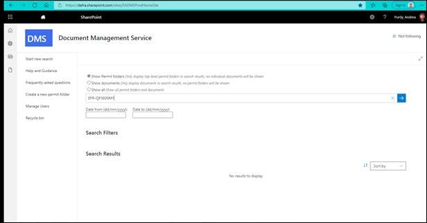
Environment Agency Data and Intelligence Manager Andrea Purdy reflects on the work to modernise an ageing records management system and the learning that has been gained from the project.
Defra Digital Delivery Manager Mike Douthwaite tells us about a working typical day for him which includes everything from agile working to supporting product managers, to recruiting new team members, and celebrating success.


Recent Comments