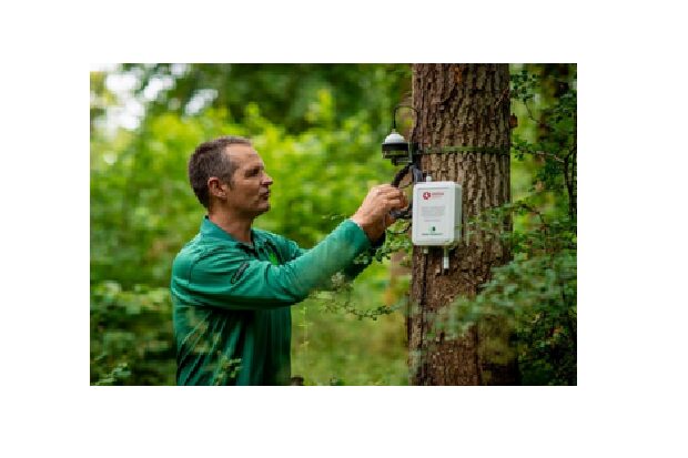
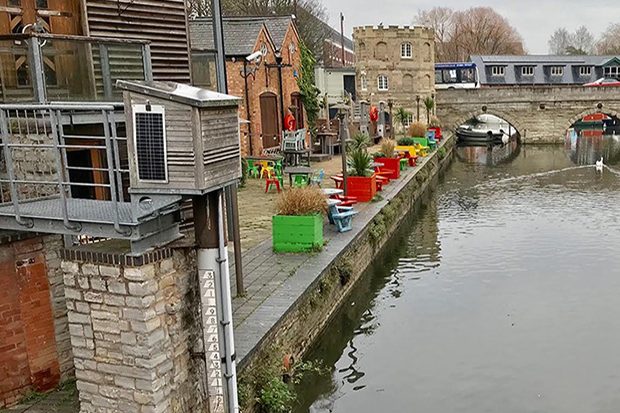
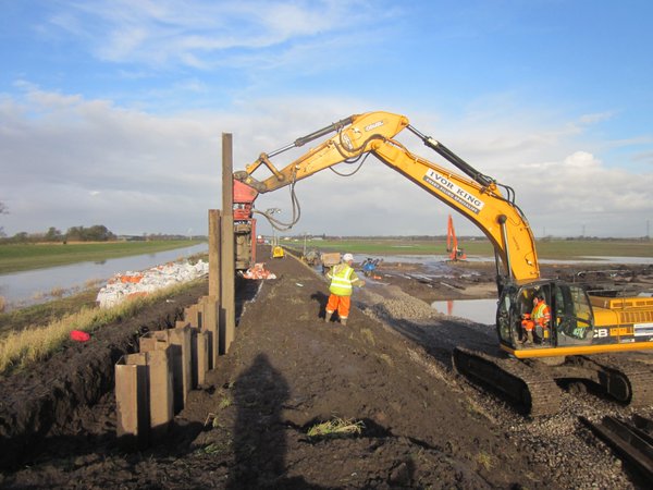
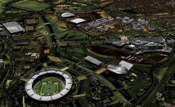
Tony Riggs explains how our Technology Innovation team has done some innovative work recently to monitor the effects of trees at absorbing carbon dioxide, and on using high performance compute (HPC) technology for speeding up flood modelling, work which has received industry recognition.
Defra Digital Delivery Manager Mike Douthwaite tells us about a working typical day for him which includes everything from agile working to supporting product managers, to recruiting new team members, and celebrating success.
Defra deals in data. And lots of it. A big part of the department’s job is to collect, process and, through careful service design, convert data into something useful for citizens, businesses and other agencies.
April is a busy month in our open data journey, as we make a number of significant flood-related datasets open including: Flood Map for Planning Areas that benefit from flood defences Flood storage areas Flood zones Spatial flood defences (without standardised …
In September 2015 we made our extensive archive of LIDAR digital elevation models (DTM – digital terrain models; and DSM – digital surface models) covering over three quarters of England, available as open data. Since then, businesses, local communities and …
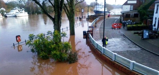
Flood defences have been in the news this winter. We’re pleased to announce that in response to this we have brought forward our #OpenDefra plans to release a key flood defence dataset as open data from 1 April to today. …
This week saw the beta release of the Environment Agency's flood data APIs and 4 new open data products from Ordnance Survey including the detailed OS Open Map - Local and the new OS Open Rivers network data. Alex Coley's …
Open 'Flood' Data Last year the Environment Agency increased its publication of Open Data. In the first instance, and in response to the extreme flooding episodes of the 2013/14 winter, this included access to flood warnings, flood alerts and river …

Recent Comments