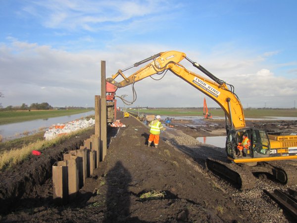
April is a busy month in our open data journey, as we make a number of significant flood-related datasets open including: Flood Map for Planning Areas that benefit from flood defences Flood storage areas Flood zones Spatial flood defences (without standardised …
Back in November, Alex Coley blogged about being comfortable with risk – explaining the risks we consider when making our data open and the simple tool we use to help assess them. The Open Data Risk Assessment Tool was developed by the Environment …
Natural England has released its 1000 open datasets three months earlier than the June target set by Elizabeth Truss MP. This important milestone forms part of the total of 8000 promised by the Defra group to the Secretary of State …
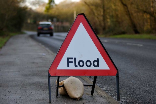
How the Environment Agency’s digital flood service helped the public deal with this December's floods - and how it'll be improved in 2016.
You may know that Defra and Environment Agency have been involved with this year’s Geovation Challenge which the Secretary of State, Liz Truss MP, announced in her speech at the open environment launch. Geovation is all about promoting innovation in …
In September 2015 we made our extensive archive of LIDAR digital elevation models (DTM – digital terrain models; and DSM – digital surface models) covering over three quarters of England, available as open data. Since then, businesses, local communities and …
How Defra designs content in plain English that's easy to use and legally correct.


Recent Comments