Defra Science and Innovation
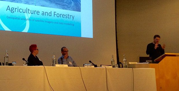
How can we use data, now and in the future? What are emerging technologies and what are their potential uses and impacts? A Defra-Royal Society panel debate asked these and other questions recently.
What happens when you get a group of data experts together to talk around #DefraData?
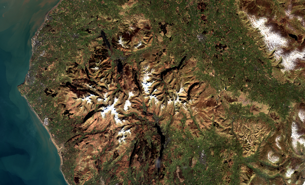
Earth Observation technologies help us to understand how our actions affect our environment and are key to delivering better services through smarter use of data.
Currently 1.8 million people live in areas at risk of flooding across the UK. With an increasing population and dependence on flood plains for housing and industry, loss of natural flood defences and increased likelihood of extreme weather events; this …
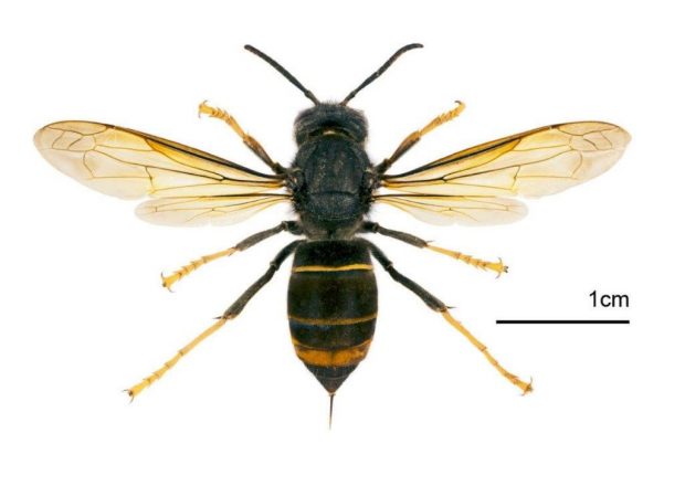
For #InvasiveSpeciesWeek and to mark the release of the Centre for Ecology and Hydrology's Asian Hornet Watch app, we have a guest post from Janet Dixon from Defra's Exotic Disease Control Unit.
The 2018 climate projections are coming and will be published as open data. Find out what they are and how to register for updates here.
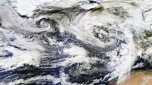
A week ago today I was lucky enough to attend the Sentinel-2B satellite launch event held at European Space Operations Centre (ESOC) in Darmstadt, Germany.
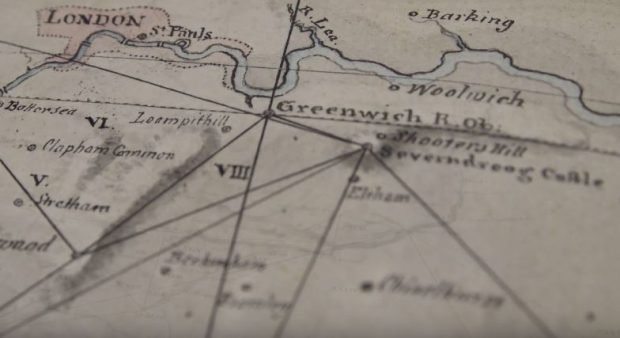
On a recent visit to Ordnance Survey (OS) I learned about the diversity of geospatial data and innovation OS undertakes. OS was born in 1791 under the ambition of creating a superior map of Britain. While world-famous for their paper …
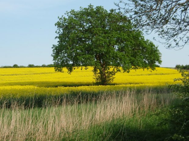
The global population is rapidly expanding, increasing pressure on our finite resources and ability to produce food. In addition the food that we do have is not currently in the areas where it is needed most. We are facing a …
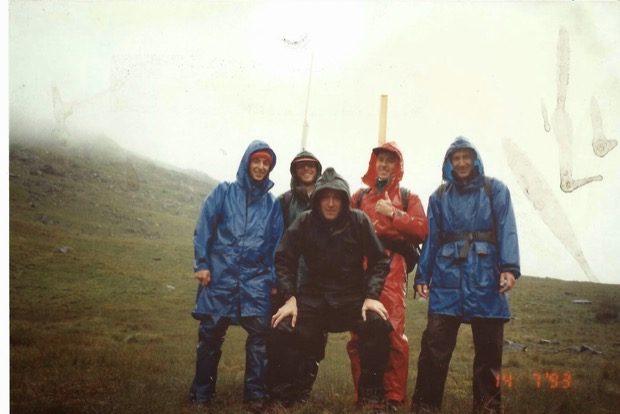
I started collecting soils and agricultural land classification survey data for Defra in Northern England as a Research Officer in 1986.

Recent Comments