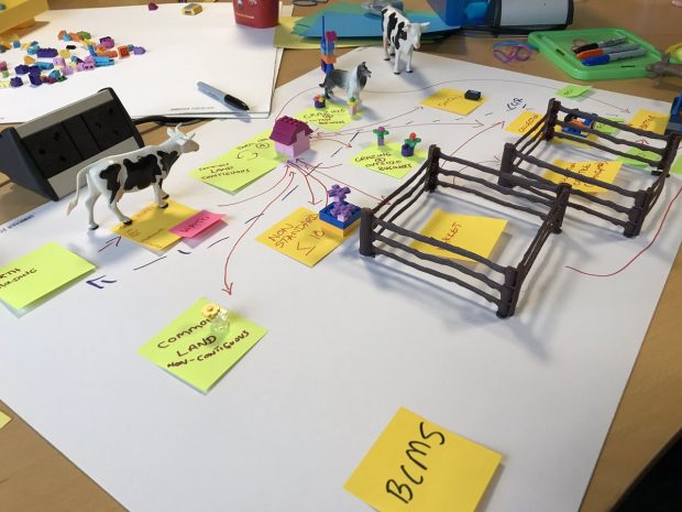
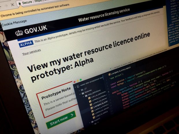
Read a blog post about the Defra Livestock Information Programme - which is working with industry to transform how we track future livestock movements in the UK.
Back in April, my colleague Colin Banno-Thornton wrote about the birth of the Enabling Digital Transformation team in Defra. Since then quite a lot has changed (not least the name of the team - I'll come back to that later), …
We took over as Defra’s joint Chief Digital Officers back in July. Since then, we've spent a lot of time meeting a lot of different people at all levels around the organisation, asking questions and listening.
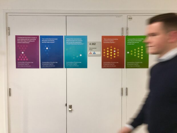
...going up on various Defra walls recently. We hope people all over government will find these new communities posters equally useful. There are two slightly different sets available to download...
For most of the last 4 years, I've been trying to wrap my head around how Defra builds services that meet user needs and support the outcomes Defra exists to bring about - benefits for the environment, the economy, for …
After 11 years doing Quality Assurance and Test, in both the public and private sectors, I have learned that testing is overrated, testers are lazy, talking is underrated and waterfalls, while pretty, are not always fun to negotiate. These are …
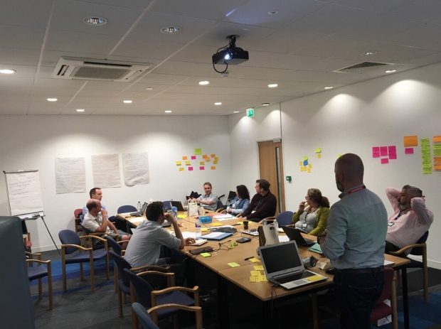
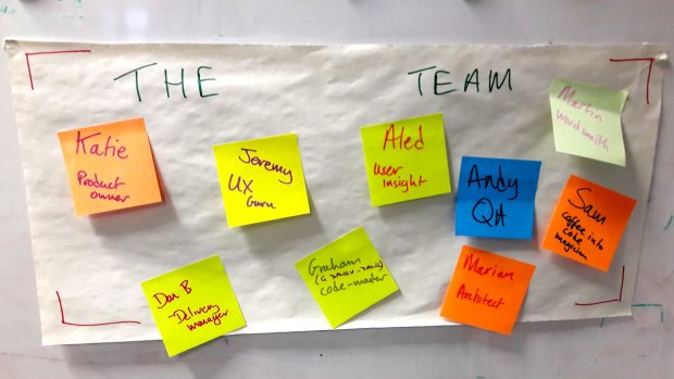
Agile delivery is relatively new to government, and a lot of teams and departments are still getting used to how it works. One of the essentials is that the team structure is right, and that you have the right people …
(Let me be clear up front: this is a potentially controversial post. It proposes radical change in the way we do things. But I feel strongly about it, and I think this needs to be said.) Over the last few …
Interested in finding out more about what we do in Defra Digital Data Technology and Security?
Check out our LinkedIn page for all the latest news, stories and job openings. While you're there, why not give us a follow?
Want to know more about our Sustainable ICT journey?
Defra is at the forefront of ensuring that UK Government Information Communications Technology (ICT) is rationalised, resilient, responsible, and free from exploitation throughout our digital infrastructure and associated supply chains.


Recent Comments