Process once - use everywhere
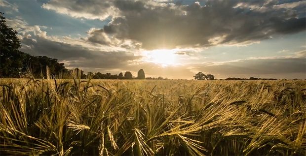
Defra group has the potential to simplify its access to satellite data and transform how we monitor and manage the UK’s landscape.

Defra group has the potential to simplify its access to satellite data and transform how we monitor and manage the UK’s landscape.
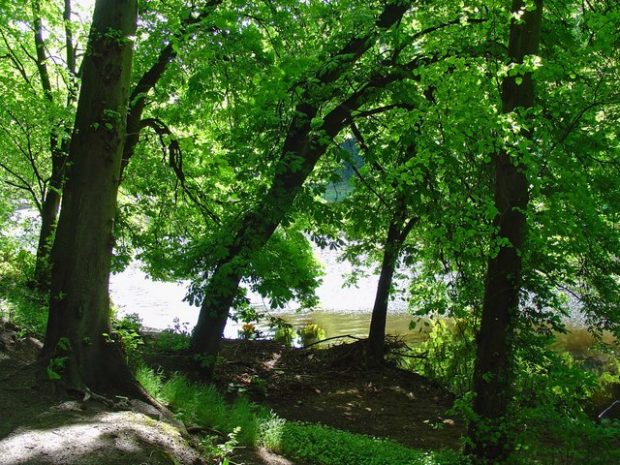
Trees support biodiversity and contribute to wellbeing – a new analytical tool helps us monitor and safeguard them against spread of diseases.
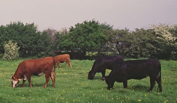
Bovine TB is a complex and costly disease in cattle. Bringing Defra’s data together and providing better access and tools will really help us to tackle it.
When building a multifunctional team to demonstrate the power and potential of data, we think it's important to upskill whenever and wherever possible. In the Data Programme, we're learning all the time, as this post about taking a course in …
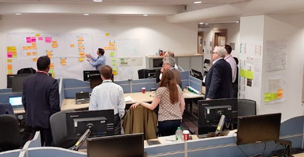
Defra is undergoing transformation. Defra has lots of data. And data is key to delivering ‘the transformation we want’.
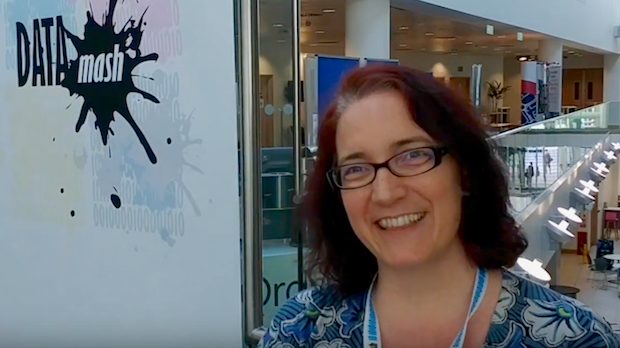
We spoke to the Open Data Institute's Chief Executive Officer Jeni Tennison about data at Defra at the end of Day 1 of our un/conference with Ordnance Survey last month.
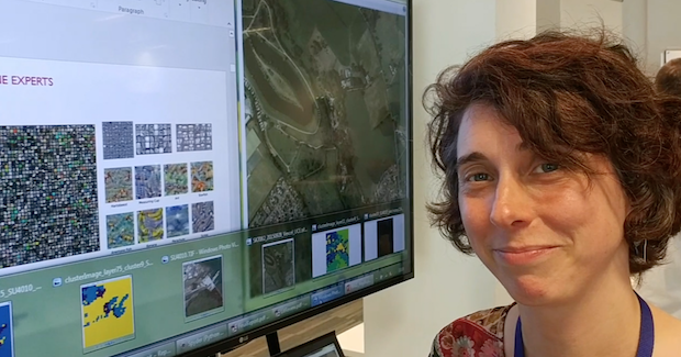
At #DataMash, We spoke to Senior Research Scientist Isabel Sargent from the Change and Business Innovation team at Ordnance Survey about Machine Learning. This is what she had to say.
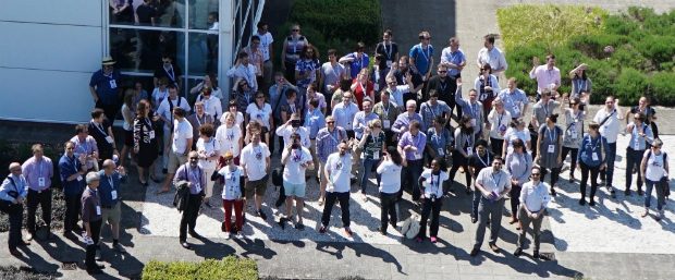
On 24–25 May 2017, Defra and Ordnance Survey ran a two-day un/conference (that's part conference, part unconference) at the Ordnance Survey Headquarters at Southampton. These photos capture a little bit of the magic that happened there...thanks to David Tait, Mattie Yeta

We officially enter a pre-election period as of midnight tonight, so there will be no new blog posts until after the election.
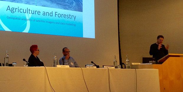
How can we use data, now and in the future? What are emerging technologies and what are their potential uses and impacts? A Defra-Royal Society panel debate asked these and other questions recently.
Recent Comments