Software tools
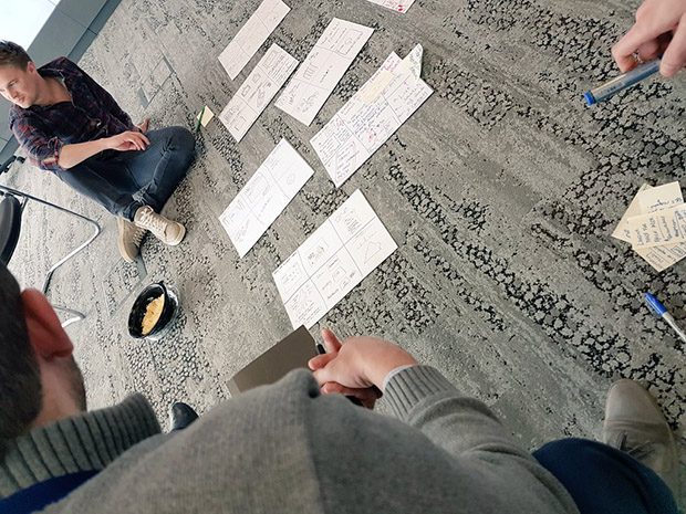
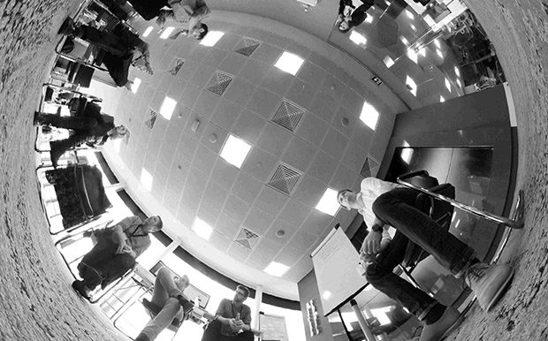
We’ve just wrapped on Day 2 of our two-week sprint over at Capgemini’s Applied Innovation Exchange.
This is the first of a series of blogposts – ‘sprintnotes’ – covering a two week sprint aiming to make better use of flood data.
Last year I was lucky enough to get on to the GDS Data Science Accelerator. On this scheme participants offer their enthusiasm to learn data science and their time to work on a project of potential value to their departments. …
I made this Storify so we can all add stuff about Lidar...primarily how it's being used but also developments in collection and publication
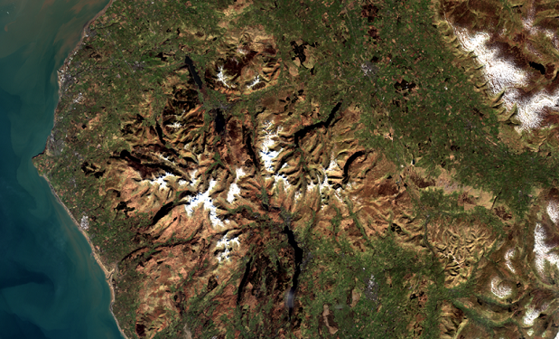
Earth Observation technologies help us to understand how our actions affect our environment and are key to delivering better services through smarter use of data.
Currently 1.8 million people live in areas at risk of flooding across the UK. With an increasing population and dependence on flood plains for housing and industry, loss of natural flood defences and increased likelihood of extreme weather events; this …
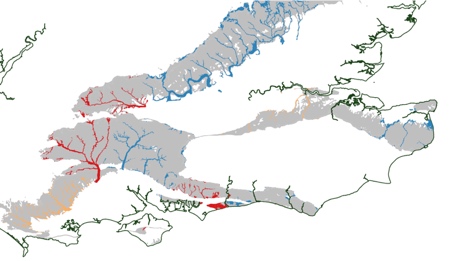
GeoSmart Information combines Environment Agency open data with modelling in its GWFlood groundwater flood forecast service. Our model At GeoSmart, our model predicts groundwater levels based on actual history of all the main variables affecting groundwater recharge, flow and discharge …
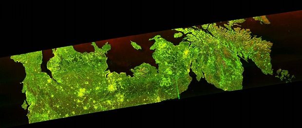
Our forests are valuable to us in many different ways – something we’ve understood for a long time. Now we have a new way to keep an eye on them.
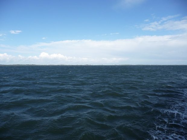
Every organisation has its commonly used phrases and, since starting in Defra in October, I keep hearing people use the term ‘we aren’t trying to boil the ocean’. It’s an evocative term, but we could use it to describe Data …
Much of Defra’s work relies on good access to, and use of, various kinds of geographical data. At present Defra has numerous local repositories within individual organisations which, in addition to being costly to maintain, can also lead to problems …
Recent Comments