Email less, talk more
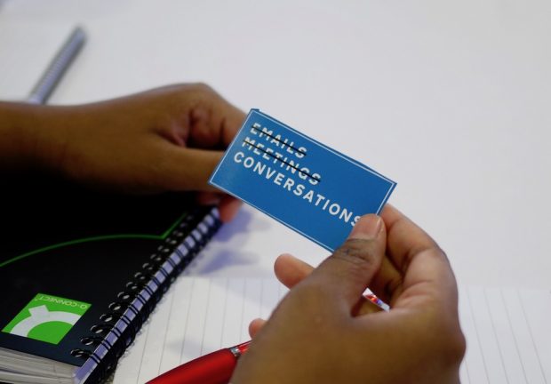
I want to talk about the subtle shift in communication approach within teams. Effective digital teams are good at trust and openness. It takes time to build behaviours like these,...
I want to talk about the subtle shift in communication approach within teams. Effective digital teams are good at trust and openness. It takes time to build behaviours like these,...
Read a blog post from Betsy Bassis, Defra Chief Operating Officer, explaining what it means to work smarter and why it's important
We teamed up with our friends in Digital Transformation to show what #datacando... With the help of Defra Leaders and Data and Digital experts, we showed off some of our work in data and digital services and made the case that transformation is about people, processes and culture...

John Murray's work with #opendefra LiDAR yields 'actionable insights' – by mashing geospatial data from a range of sources, he shows how social patterns follow physical features.
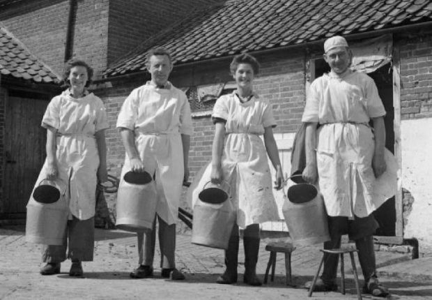
Following on from Mike O'Driscoll's post on how we can make better use of statistical packages such as R in analysing data, friend of #DefraData, Sarah Wong, applies data science to the classic question: what's the price of milk?
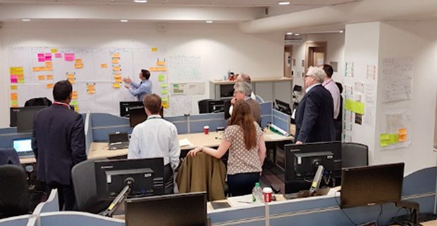
When building a multifunctional team to demonstrate the power and potential of data, we think it's important to upskill whenever and wherever possible. In the Data Programme, we're learning all the time, as this post about taking a course in …
A blog post about the benefits of building communities of practice and how they are making a real difference to the way Defra works.
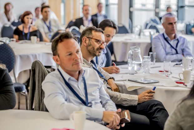
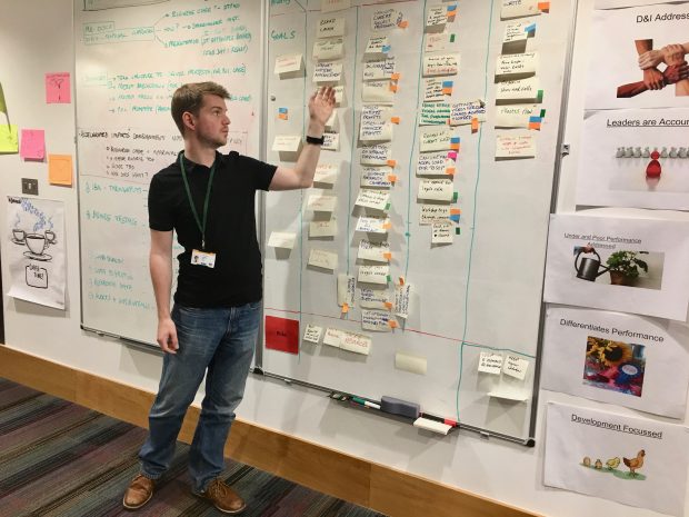
Some impressions from John Seglias, Defra Group Chief Technology Officer, about last week's Transforming Together event - which was hosted by Defra group
Defra is undergoing transformation. Defra has lots of data. And data is key to delivering ‘the transformation we want’.

Having conversations is the first step towards forging stronger relationships to improve how we work. Here, the Environment Agency's Abby Lane chats to us about the value of being able to meet up and talk to other people in Defra …
Recent Comments