Designing a more accessible flood map

To mark Global Accessibility Awareness Day today, Dan Leech (Interaction Designer) shares his experience of designing accessible maps for the check for flooding service.
To mark Global Accessibility Awareness Day today, Dan Leech (Interaction Designer) shares his experience of designing accessible maps for the check for flooding service.
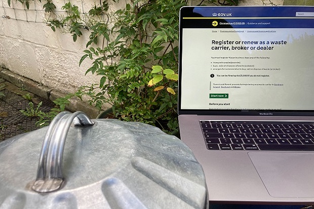
Andrew Hick and Iris Faraway, from the Ruby Waste Services team, explain the changes they and their team have been making recently to remove the pain from waste carrier renewals.

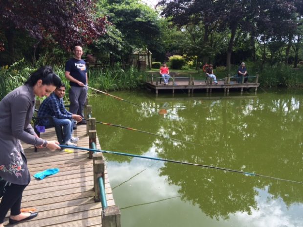
To mark Fishing Month Haroon Tariq, from the Defra Digital ‘I Want to Fish’ service team, explains how renewing your rod licence is now easier than ever following the recent automation of the licence expiry notifications process.

Emi Carmichael from the Ruby Waste Services Team tells us about the success of the Defra Waste Exemptions renewal service which was launched in August.
When people hear the term apprentice some will immediately think of the hit BBC TV reality game show 'The Apprentice’, in which budding entrepreneurs compete for the chance to win a big prize. The concept of apprenticeships has been around a long time though. And earlier this month Civil Service apprentices up and down the …
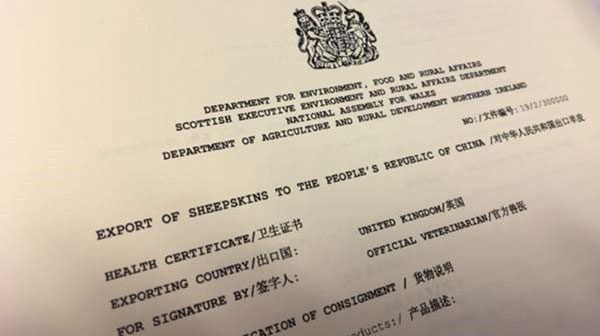
Ever needed to send some ‘sheepskin to China’, how about ‘horses to Argentina’ or even some ‘greasy wool to Chile’. Perhaps not, but for some companies these niche exports are their core business, and it’s big business.
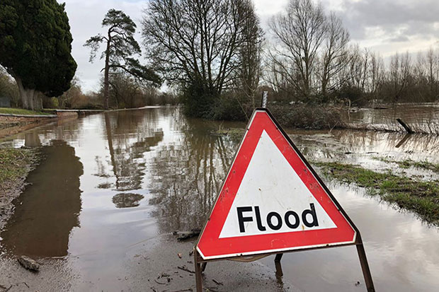
To mark Services Week – a focus on the government’s digital activity – we look at the relaunch of the long term flood risk service, designed around the needs of the people who actually use it.
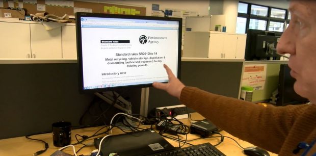
A few weeks ago we posted a blog about how we’ve simplified the waste permits service. We've also made a short film about the agile team working on the service and how they are continually improving it based on feedback from users.
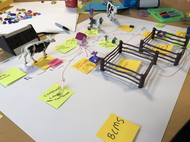
Read a blog post about the Defra Livestock Information Programme - which is working with industry to transform how we track future livestock movements in the UK.
Being a Product Manager is about championing the needs of the users of a service. Our team, responsible for the “I want to fish” service (of which buy a rod...
Recent Comments