Much of Defra’s work relies on good access to, and use of, various kinds of geographical data. At present Defra has numerous local repositories within individual organisations which, in addition to being costly to maintain, can also lead to problems …
Past incarnations of this working group have been no stranger to ambitious targets, and the latest is no exception. The group, which I am a part of, comprises Defra Data Programme Leads, Data Managers, Senior Managers and Solutions Architects from …
#DefraData's Tim Ashelford compares his first experiences with free and open source geographical information software QGIS with proprietary alternatives. He is joined by QGIS pro Alexandra Kilcoyne from Natural England.
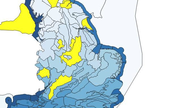
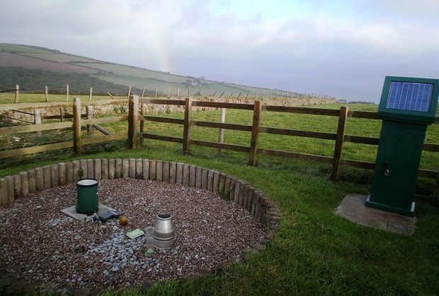
To complement our (the Environment Agency’s) publication of open data on river levels, we have now made near real-time rainfall data available via an API.
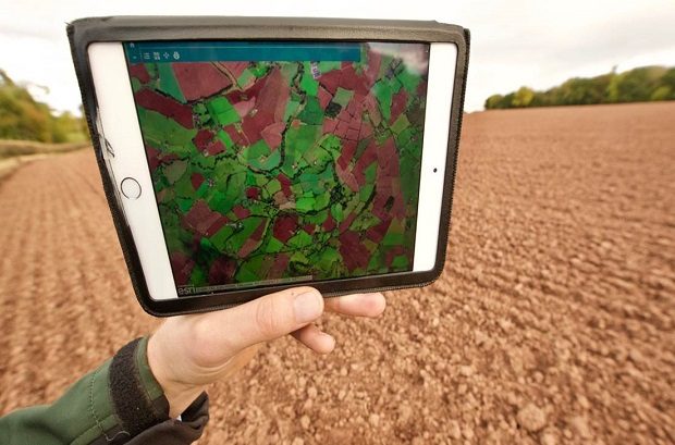
Environment Agency Geomatics experts Andrew Richman and Crispin Hambidge explain how satellite and LiDAR are helping Enforcement Officers identify agricultural runoff.
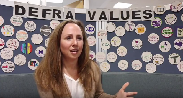
Interested in finding out more about what we do in Defra Digital Data Technology and Security?
Check out our LinkedIn page for all the latest news, stories and job openings. While you're there, why not give us a follow?
Want to know more about our Sustainable ICT journey?
Defra is at the forefront of ensuring that UK Government Information Communications Technology (ICT) is rationalised, resilient, responsible, and free from exploitation throughout our digital infrastructure and associated supply chains.

Recent Comments