Change is hard, but better than not changing at all
Posted by:
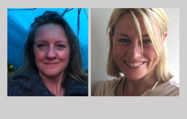
Harriet Green, Joint Chief Digital Officer and Myra Hunt, Joint Chief Digital Officer, Posted on:
-
Categories:
Defra digital, Digital transformation
...who have had to make considerable changes to the way they work. We’re grateful to them for their patience while we move from old to new. But the important thing...

Recent Comments