Why senior service ownership matters at Defra... and why now
Why senior service ownership matters at Defra... and why now
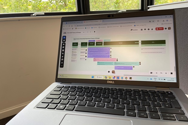
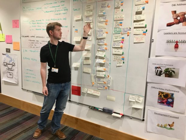
Senior service ownership could help Defra become more service-led, efficient and user-focused. Laura Churchill shares what her team learned while testing the concept, why plans had to change, and how they’re building the right conditions for more joined-up, accountable services.


Recent Comments